Cybertiks
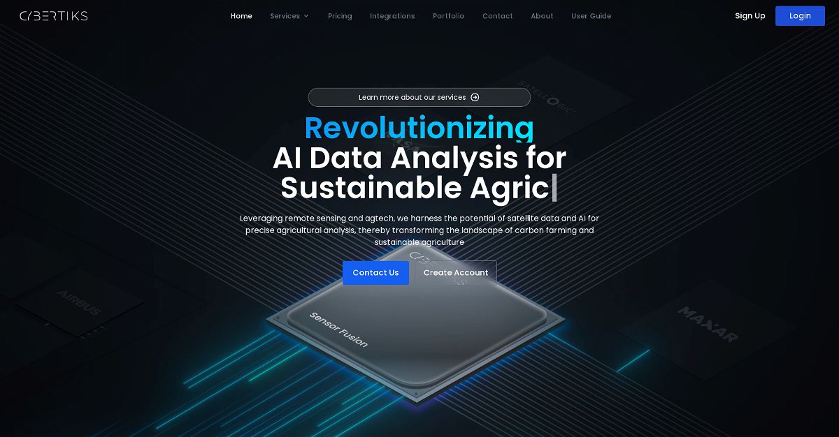
Cybertiks is an AI-powered tool that utilizes remote sensing and agtech to analyze satellite and drone imagery for precise agricultural insights. This tool can identify which plants are growing or could be grown in a specific field, measure water availability, nutrients, erosion, soil quality, pollution, and pest levels all through satellite imagery. It can also detect human activity through satellite radars by analyzing electromagnetic traces and monitor oil spills and leakages. Additionally, Cybertiks can evaluate the progress, monitor waste deposits, and model land topography for large construction or infrastructure projects.
Highlights:
- Analyze any field globally from a remote location.
- Generate tailored reports with crucial metrics.
- Offers a wide range of services for various industries.
- Uses AI to correlate vast amounts of data and deliver customized insights quickly.
Key Features:
- Detects plant types and growth potential.
- Measures water availability, nutrients, and soil quality.
- Monitors pollution levels and pest infestations.
- Analyzes human activity and monitors oil spills.
- Models land topography for construction projects.
This content is either user submitted or generated using AI technology (including, but not limited to, Google Gemini API, Llama, Grok, and Mistral), based on automated research and analysis of public data sources from search engines like DuckDuckGo, Google Search, and SearXNG, and directly from the tool's own website and with minimal to no human editing/review. THEJO AI is not affiliated with or endorsed by the AI tools or services mentioned. This is provided for informational and reference purposes only, is not an endorsement or official advice, and may contain inaccuracies or biases. Please verify details with original sources.


Comments
Please log in to post a comment.