Satlas
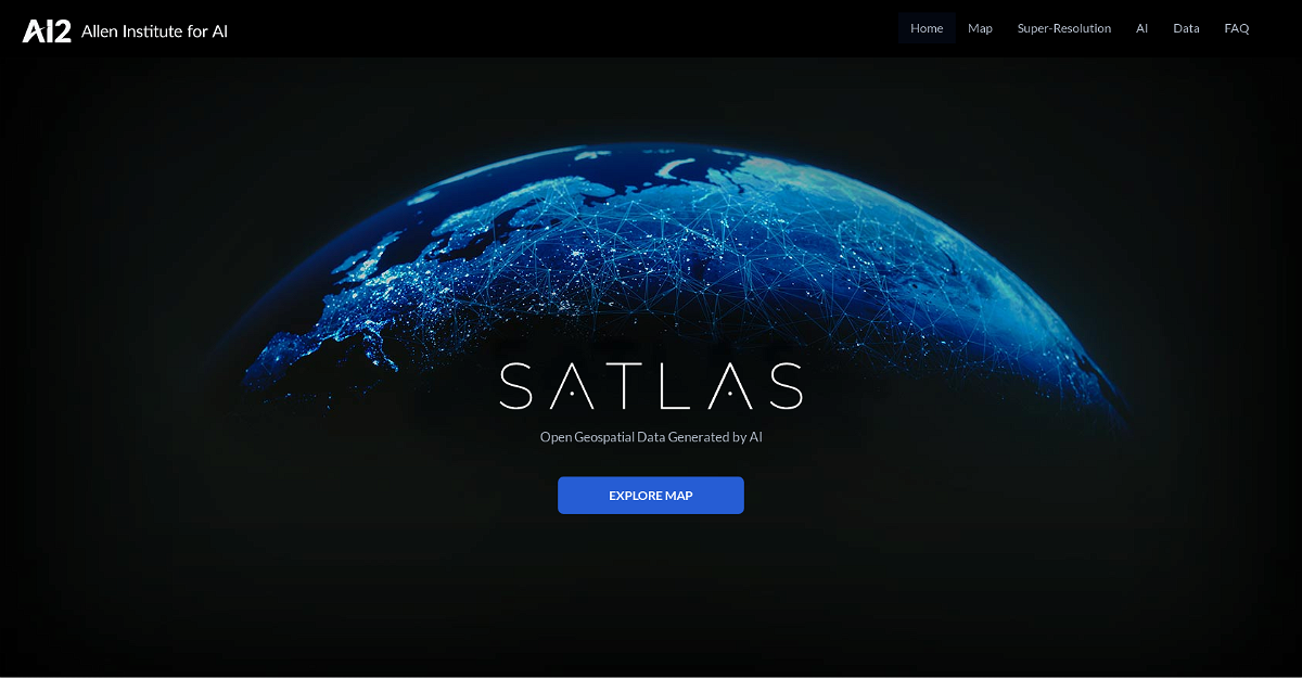
Satlas is an AI-powered tool that lets you explore and analyze changes happening on Earth using satellite imagery. It uses monthly geospatial data to reveal changes in marine infrastructure, renewable energy infrastructure, tree cover, and more. You can see specific examples like offshore wind farms, deforestation, logging, and other changes happening around the world.
Highlights
- High-resolution imagery: AI models enhance low-resolution satellite images to produce clear, detailed images on a global scale.
- Free access to data: Download AI-generated geospatial datasets for offline analysis.
- Open source: Satlas releases AI models and training labels to support further research and development.
Key Features
- Uses AI to analyze and annotate satellite imagery.
- Provides monthly updates on changes happening around the world.
- Offers a wide range of examples for exploring specific changes.
This content is either user submitted or generated using AI technology (including, but not limited to, Google Gemini API, Llama, Grok, and Mistral), based on automated research and analysis of public data sources from search engines like DuckDuckGo, Google Search, and SearXNG, and directly from the tool's own website and with minimal to no human editing/review. THEJO AI is not affiliated with or endorsed by the AI tools or services mentioned. This is provided for informational and reference purposes only, is not an endorsement or official advice, and may contain inaccuracies or biases. Please verify details with original sources.

Comments
Please log in to post a comment.