Geomapping
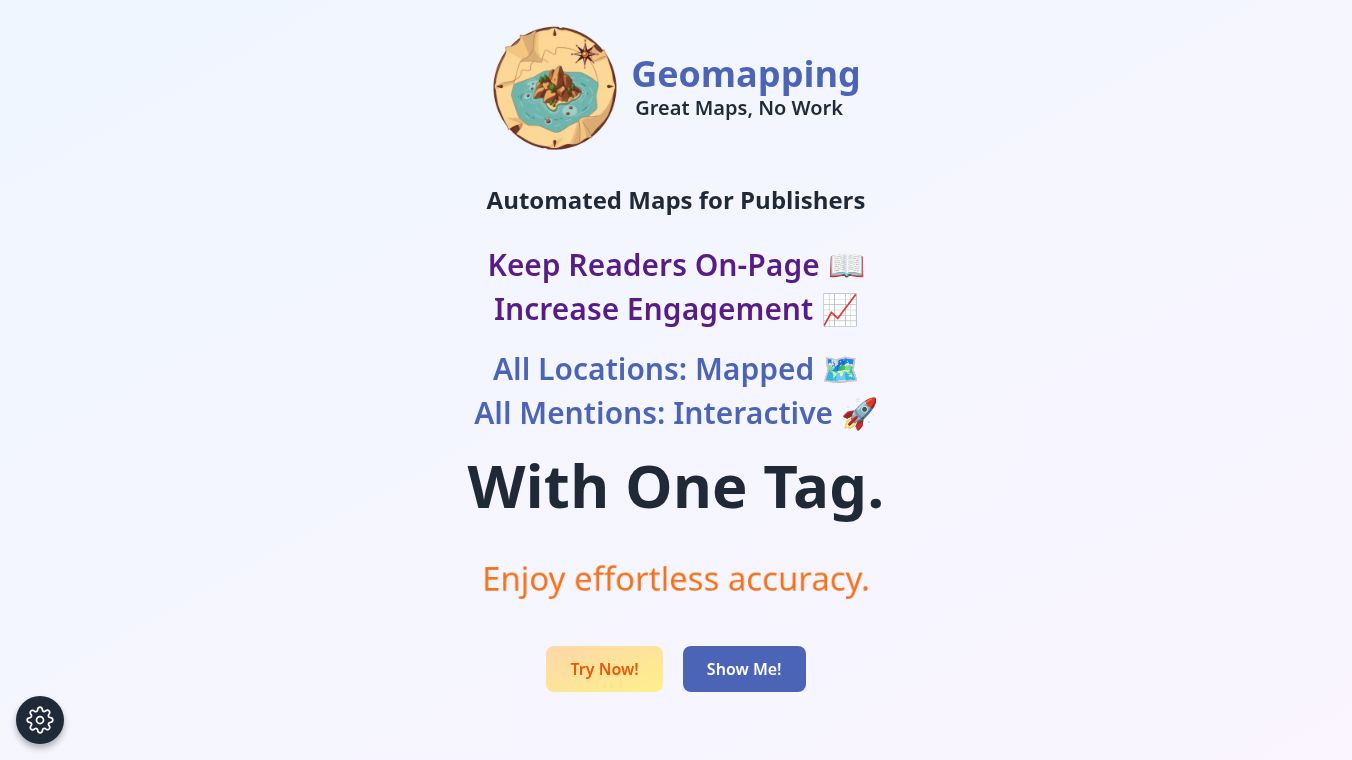
Geomapping is a service that helps writers and publishers automatically create interactive maps for their articles. It reads an article, finds all the places mentioned, figures out where they are on a map, writes descriptions for them, and then builds a map that readers can interact with. This helps keep readers interested and on the page longer.
Benefits
Geomapping saves a lot of time. Manually creating a map for an article can take over an hour, but Geomapping does it in about two minutes. This means writers can spend more time writing and less time on technical tasks. The maps are interactive, allowing readers to see locations mentioned in the text on the map. The service is designed to be accurate and works automatically without needing any special setup. It also ensures that websites load quickly and that reader privacy is protected, as it does not track users or collect data. If the Geomapping service has any issues, the article will still show up normally without the map, so nothing breaks.
Use Cases
This tool is perfect for articles that talk about many different places. This includes travel guides, news stories that have a geographic focus, articles about real estate, historical pieces, and content about food, wine, or adventure sports. It can also be useful for reporting on migration, climate, politics, culture, or for educational materials.
Pricing
Geomapping offers a free plan that allows for 10,000 views and the creation of 5 maps each month. All the main features are included in this free plan, and no credit card is needed to sign up.
Vibes
Users can get started with Geomapping in under 5 minutes, from signing up to publishing their first map. The service is designed to be easy to use, even for those without coding experience, and it handles all the technical work automatically. Readers can interact with the maps by hovering over highlighted locations to see them instantly.
Additional Information
Geomapping works with almost any website platform that allows custom HTML or JavaScript, such as WordPress, Medium, and Wix. The maps are built to be lightweight and load without slowing down the website. Users also have the ability to edit or add geographical details directly within the Geomapping platform and can customize how the maps look and behave.
This content is either user submitted or generated using AI technology (including, but not limited to, Google Gemini API, Llama, Grok, and Mistral), based on automated research and analysis of public data sources from search engines like DuckDuckGo, Google Search, and SearXNG, and directly from the tool's own website and with minimal to no human editing/review. THEJO AI is not affiliated with or endorsed by the AI tools or services mentioned. This is provided for informational and reference purposes only, is not an endorsement or official advice, and may contain inaccuracies or biases. Please verify details with original sources.


Comments
Please log in to post a comment.