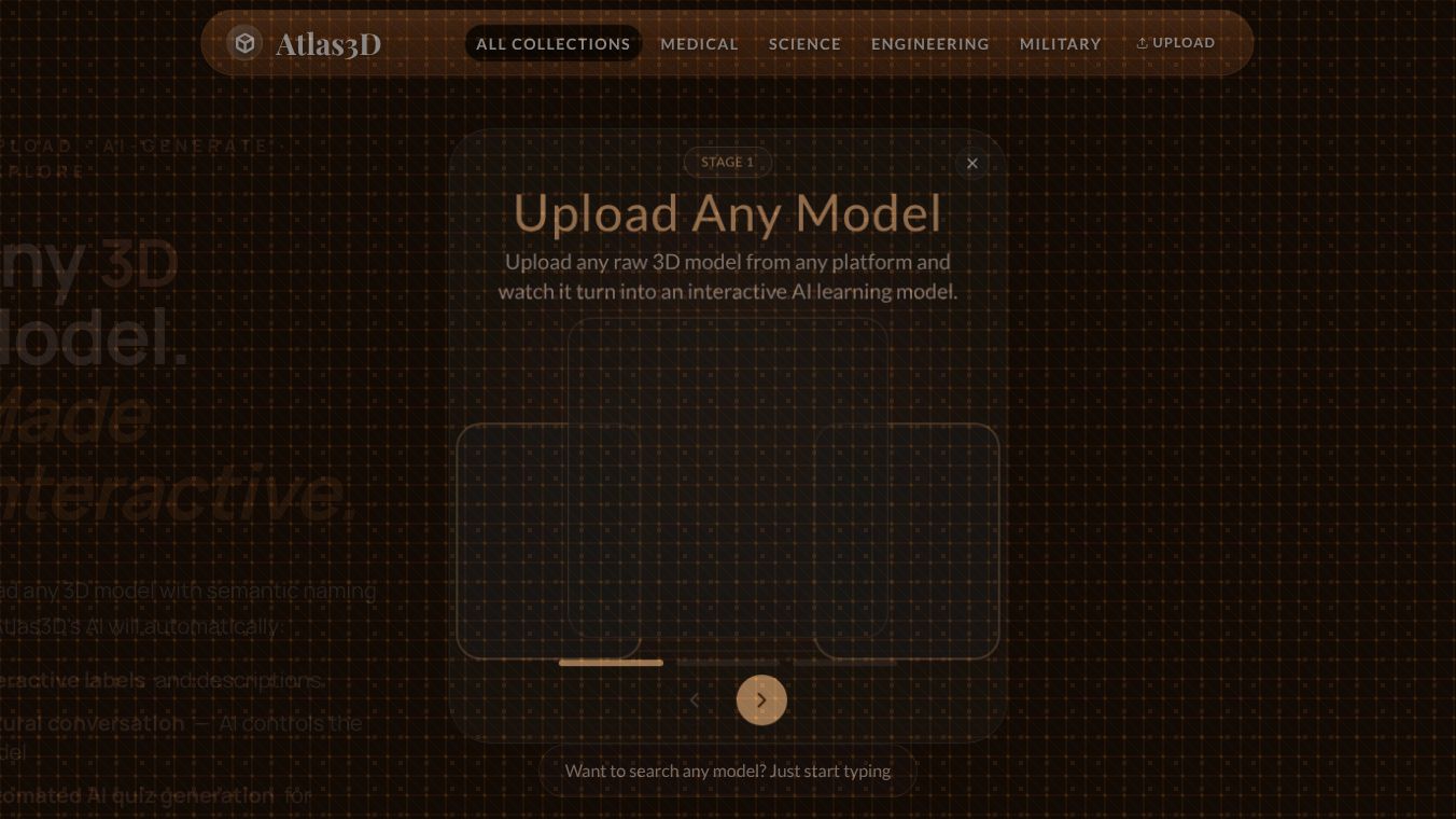





Atlas3D: A New Way to See the World in 3D
Atlas3D is a platform that helps people create and share three-dimensional maps of the Earth. It uses satellite images and other data to build detailed 3D models of cities, landscapes, and natural features. The tool is designed to make complex geographic data easy to understand and use for anyone, from students to city planners. By turning flat maps into interactive 3D worlds, Atlas3D allows users to explore locations from any angle and zoom in on specific details.
Benefits
One of the main advantages of Atlas3D is its ability to simplify complex data. Instead of looking at confusing charts or static images, users can walk through a virtual city or fly over a mountain range. This makes it easier to see how different parts of a location connect to each other. The platform also supports real-time updates, meaning that changes to the landscape or city infrastructure can be reflected quickly. This is especially useful for emergency responders or urban planners who need the latest information. Another key benefit is accessibility. Atlas3D works in web browsers, so users do not need to install special software to access the data.
Use Cases
Atlas3D has many practical applications across different fields. City planners can use it to visualize new construction projects and see how they fit into the existing environment. Architects might use the tool to present their designs to clients in a realistic 3D format. Environmental scientists can study changes in forests or coastlines over time by comparing old and new 3D models. Students and teachers can use the platform to make geography lessons more engaging by allowing students to explore famous landmarks virtually. Even tourists can use the tool to plan trips by getting a better sense of what a destination looks like before they arrive.
Pricing
Atlas3D offers different plans to suit various needs. There is a free tier that provides basic access to 3D maps and limited data downloads. For users who need more advanced features, such as custom data layers or higher resolution models, there are paid subscription options. These plans typically include access to premium datasets and tools for creating custom visualizations. Specific pricing details may vary depending on the organization's requirements and the volume of data needed.
Vibes
Early users of Atlas3D have praised the platform for its intuitive design and powerful capabilities. Many reviewers note that the 3D models are surprisingly detailed and accurate. Some users appreciate how quickly the platform loads and how easy it is to navigate. While the free version has some limitations, many find it sufficient for personal projects and learning. The community feedback suggests that Atlas3D is becoming a go-to resource for anyone interested in exploring the world in a new dimension.
Additional Information
Atlas3D has gained attention for its commitment to open data and collaboration. The platform partners with various satellite providers and research institutions to ensure the data remains up to date and accurate. This collaborative approach helps maintain high standards for the quality of the 3D models. The project has also received support from organizations focused on advancing geographic technology and education.
This content is either user submitted or generated using AI technology (including, but not limited to, Google Gemini API, Llama, Grok, and Mistral), based on automated research and analysis of public data sources from search engines like DuckDuckGo, Google Search, and SearXNG, and directly from the tool's own website and with minimal to no human editing/review. THEJO AI is not affiliated with or endorsed by the AI tools or services mentioned. This is provided for informational and reference purposes only, is not an endorsement or official advice, and may contain inaccuracies or biases. Please verify details with original sources.



 No Info
Comments
Please log in to post a comment.